Tag: Satellite imagery analysis
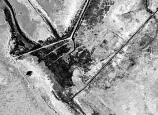
1,400-Year-Old Battle Site Revealed in Iraq Through Declassified Spy Satellite Images
Declassified spy satellite images from 1974 have led archaeologists to uncover a 1,400-year-old battle site in Iraq. The images, captured by a U.S. satellite system called KH-9 (Hexagon), revealed remnants of a settlement that...
Identifying Buildings and Settlements in Under-Mapped Areas Using AI
The launch of a new map utilizing artificial intelligence (AI) technology is set to revolutionize the way under-mapped areas are identified and understood. In a joint effort between the United Nations and Google, a...
NASA Satellite Data Enhances National Environmental Justice Database with Key Pollutant
NASA recently announced a significant advancement in monitoring air quality across the U.S. by incorporating measurements of nitrogen dioxide into the Environmental Justice Screening and Mapping Tool (EJScreen). This key air pollutant, released through...
Mapping Urban Growth in China Over 30 Years Using Satellite Radar Technology
In the last few decades, thousands of satellites have been launched into space by humanity. These satellites serve various purposes, from taking pictures and mapping the Earth to improving GPS technology in our phones....


