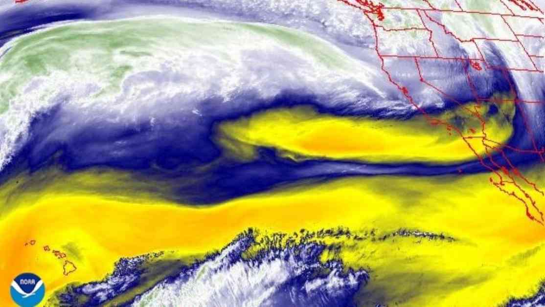
A potential “bomb cyclone” is on its way to California and Oregon, bringing strong winds and heavy rains to the West Coast from Tuesday to Thursday. This storm system is expected to undergo rapid intensification, dropping from over 1,000 millibars of pressure to less than 950 mb in just 24 hours. This phenomenon, known as “bombogenesis,” transforms the storm into a bomb cyclone, as explained by the National Oceanic and Atmospheric Administration (NOAA).
Bomb cyclones occur when warm and cold air masses collide, leading to a rapid drop in pressure. The low-pressure system will result in an atmospheric river affecting Northern California and southern Oregon, drawing moisture from the tropics northward. The areas most at risk, classified as “extreme” by the University of California, San Diego, stretch from the San Francisco Bay area to Eureka, California, with impacts expected as far north as central Oregon and as far south as Salinas, California.
The storm will bring high winds, heavy rain, and the possibility of flash flooding, with wind gusts of up to 70 mph in exposed areas and rainfall rates of 2 to 4 inches per day. Higher elevations above 3,500 feet could see up to 2 feet of snow. While atmospheric rivers pose risks to property and lives, they also provide much-needed water to the West Coast, accounting for a significant portion of annual precipitation in the region.
However, under the influence of climate change, atmospheric river patterns are predicted to shift, resulting in heavier low-elevation precipitation events but less snowfall at higher elevations. This poses challenges for water supplies in the West, as snowpack serves as a reliable, slow-melting water source throughout the year, unlike short-term heavy rainfall that can lead to immediate issues like mudslides and floods.
It is essential for residents in the affected regions to stay informed and prepared for the upcoming storm and its potential impacts. Following safety guidelines and heeding evacuation orders, if necessary, can help minimize risks and ensure the well-being of individuals and communities. Stay tuned for updates from local authorities and weather agencies to stay ahead of the storm and take necessary precautions.


