
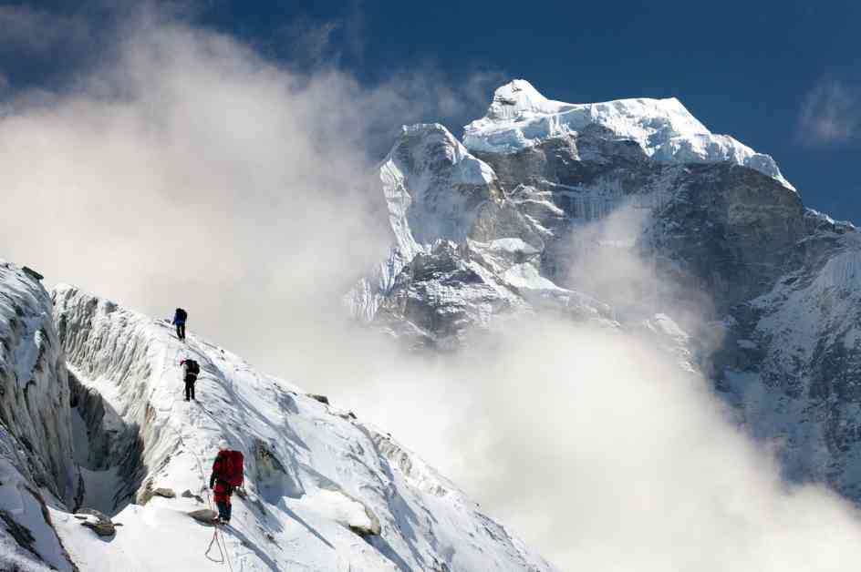
Mount Everest, the tallest mountain in the world, has always been a wonder of nature. But how did it become so tall, towering over 200 meters above the next highest peaks in the Himalayas? Geologists have an interesting theory that sheds light on this mystery.
According to a study published in Nature Geoscience, researchers suggest that a phenomenon called “river piracy” played a significant role in shaping Mount Everest’s impressive height. Around 89,000 years ago, two ancient rivers in the Himalayas merged, causing massive erosion that removed a significant amount of rock and soil. This removal of mass led to the slow rise of the Earth’s outer crust, resulting in Everest gaining an extra 50 meters in height.
One of the key rivers involved in this process is the Arun River, which flows north of the Himalayas before turning south and cutting through the mountains to join the Kosi River. The unique path of the Arun River has puzzled scientists for years, leading them to consider the possibility of river capture or piracy. This theory suggests that the Arun River once had a different course and eroded its way through the mountains to merge with another river, leading to the formation of the dramatic gorge we see today.
Through the use of models and simulations, researchers like Matt Fox and Jin-Gen Dai have been able to estimate that the Arun capture event took place 89,000 years ago. Since then, the river has continued to erode its channel, carrying away sediment and allowing the Earth’s crust to rebound slowly. This ‘isostatic rebound’ has contributed to Everest’s increased elevation, adding between 15 to 50 meters to its height.
While the theory of river piracy offers a compelling explanation for Mount Everest’s extraordinary height, some geologists like Peter van der Beek remain skeptical. They point out that the timing of the river capture event is uncertain, and the estimates of the mountain’s rise depend on factors like tectonic uplift and erosion rates, which are not fully understood.
Despite the ongoing debate, the study sheds new light on the geological processes that have shaped the world’s tallest mountain. Understanding the complex interactions between rivers, erosion, and tectonic forces can provide valuable insights into the Earth’s dynamic landscape and the forces that continue to shape it over thousands of years. As scientists continue to unravel the mysteries of Mount Everest, one thing is clear – this majestic peak holds many secrets waiting to be discovered.


